General Terms and Conditions
Description of the general terms, limitations, disclosures, and preferred citation for this report.
.svg)
Vision & Mission of ABMI
The ABMI advances biodiversity monitoring to inform responsible resource management and land stewardship, now and for future generations.
We track changes in wildlife and their habitats across Alberta, working collaboratively to provide ongoing, relevant, and scientifically credible information about our living resources.
General Terms
The information, analyses, and results presented in this report are produced by the ABMI using standardized protocols and models. By accessing or using this report, you agree to these Terms and Conditions.
- Purpose and Scale of Application
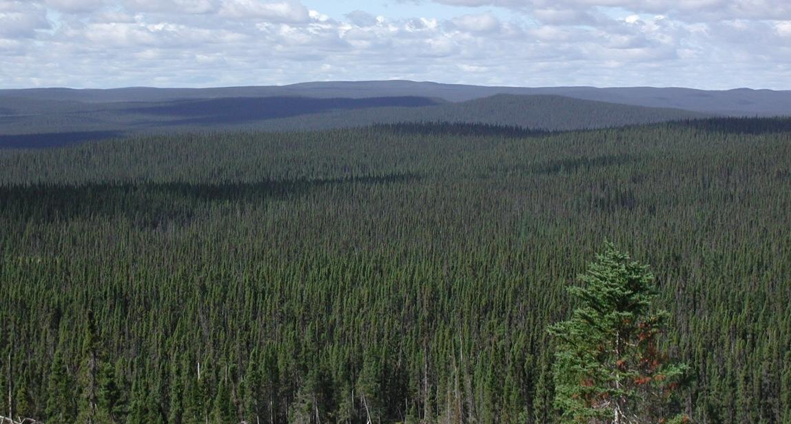
- This report is intended for regional-scale assessments of biodiversity, habitat, and human footprint trends within the Alberta-Pacific Forest Industries Inc. (Al-Pac) Forest Management Agreement (FMA) area and surrounding regions.
- Results should not be interpreted at local or site-specific scales (e.g., individual harvest areas, wetlands, or townships) without additional context and data.
- Data and Analytical Limitations
- ABMI indices and analyses are based on modelled reference conditions that represent the landscape as if human footprint had not occurred. This may not accurately reflect Indigenous land use or the loss of wetlands in highly developed areas. .
- Reference conditions and species-level estimates carry statistical uncertainty, and indirect effects such as grazing, noise, hunting, trapping and pollution are not fully incorporated.
- The recovery or regeneration of habitats is only captured for direct forestry footprint.
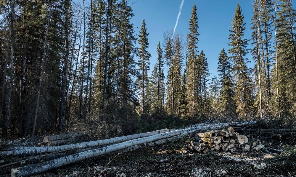
- Human Footprint data are derived from manual digitization of satellite imagery and partner-supplied sources; errors and omissions may occur, particularly for features with low detectability.
- Wetland inventory accuracy varies by region and classification, and misclassifications are inherent to remote sensing methods.
- Dynamic Nature of Data
- Classifications of roads, seismic lines, and harvest areas are subject to ongoing review and updates based on new information and expert input. This may result in changes in disturbance estimates over time.
- No Warranty
- While every effort is made to ensure the information contained in this report is accurate, the ABMI makes no warranty, express or implied, regarding the completeness, accuracy, or fitness of the data for any particular purpose. Users assume all responsibility for interpretation and application of the results.
The ABMI assumes no liability in connection with the Status of Land Cover and Biodiversity reports or any other information or services made available by the Institute. While every effort is made to ensure the information contained in these products and services is accurate, the ABMI disclaims any liability in negligence or otherwise for any loss or damage which may occur as a result of reliance on any of this material. All Status of Land Cover and Biodiversity reports and other information and services are subject to change by the ABMI without notice.
Data used in the preparation of the Status of Land Cover and Biodiversity report produced for the Al-Pac FMA area, along with the scientific methods used in analyses are available on the ABMI’s website and include species, habitat, and remotely sensed data collected between 1999 and 2023. Wetland inventory data collection methods are available in ABMI's publications.
The downloading, reading and review of material from the Status of Land Cover and Biodiversity reports or Linked Sites is done solely at your own risk. The ABMI does not guarantee or warrant that such materials are free of viruses or other destructive code or content of any kind. You are responsible for implementing safeguards to protect your computer system and data and you are solely responsible for the entire cost of any service, repairs or corrections necessary as a result of the use of the Website or any Linked Site.
The ABMI has made considerable strides in supporting biodiversity and land cover management in Alberta and continues to build momentum. We are committed to:
- Ensuring the effective delivery of ongoing relevant, timely, and scientifically rigorous biodiversity and land cover information;
- Contributing knowledge to decision-making systems;
- Supporting governments, industries, and other partners and stakeholders in meeting their reporting obligations;
- Supporting Indigenous-led monitoring through meaningful partnerships with Indigenous communities to advance their own self-determined monitoring approaches.
- Working collaboratively to reduce duplication in provincial biodiversity and land cover monitoring;
- Continuing to monitor human footprint in Alberta;
- Working collaboratively to continue to improve wetland inventories; and
- Facilitating the transfer of information to government, industry, the research community, and the public.
Scientific Integrity
The ABMI is committed to the responsible analysis and interpretation of data. We hold ourselves to the highest ethical standards, including operational transparency, honesty, conscientiousness, and integrity. The ABMI strongly encourages the responsible and ethical evaluation and interpretation of the knowledge contained in these reports. For a complete discussion of the ethical behaviour endorsed by the ABMI, please see Honor in Science, published by Sigma Xi. A broader discussion about the use of ABMI data and information can be found in the report “Scope and Application of the ABMI’s Data and Information” available here.
Terms & Conditions of Report
Preparation
In 2024, Al-Pac requested that the ABMI produce a report on the status of biodiversity and land cover in their operating area.
This report relies on data from the ABMI’s long-term biodiversity monitoring programs, which have been funded by the Government of Alberta. It also incorporates avian data from the Boreal Avian Modelling (BAM) Centre; a full list of BAM data contributors is available here. The following terms were applied as conditions of the ABMI preparing this report:
- The ABMI reports on a suite of developed biodiversity and land cover indicators relevant to regional planning, policy, and management. Several of these indicators were developed either independently by the ABMI or in collaboration with Alberta Environment and Protected Areas. These indicators are applied consistently across all ABMI reporting products to the extent possible to maintain comparability.
- The ABMI maintains full control over all language and messaging in the report.
- This biodiversity and land cover status report encompasses Al-Pac’s entire FMA area; results should not be localized to smaller areas within the area of interest unless already specified in this report.
This report was released publicly in December of 2025 using the following data and datasets:
- Biodiversity data collected between 2003 and 2023 (birds 1993–2023; mammals 2015–2023; vascular plants 2003–2022; bryophytes 2003-2019, soil mites 2007-2022, lichens 2003-2022),
- Land use data collated for 1950, 1985, 2000, 2001, and 2004 to 2023, as well open-source satellite data collated and produced between 2005 and 2023.
- The wetland inventory dataset is derived from freely available satellite data: Sentinel-1 Synthetic Aperture Radar (SAR) data and Sentinel-2 optical data acquired between 2017 and 2020, and the Advanced Land Observing Satellite (ALOS) topographical models reflecting 2006 to 2011 land surface conditions.
Updates to the results and overall report will be noted.
Preferred Citation
Alberta Biodiversity Monitoring Institute. 2025. The Status of Land Cover and Biodiversity in Alberta-Pacific Forest Industries Inc. Forest Management Agreement Area. Online report available at: abmi.ca/publication/676.
