Native Cover
Summary of 2023 status and 2010–2023 trends in native cover, separated into terrestrial (upland) and aquatic/wetland (lowland) categories.
.svg)
Native cover is expressed as a percentage relative to a reference state with no human footprint..
Methods for summarizing undisturbed native cover are found in Section 1.3.1.
90.5% in 2010
98.0% in 2010
Introduction
- Human activities that convert native habitats to other land uses are one of the main threats to biodiversity[1,2]. Tracking changes in native cover, including both terrestrial and aquatic/wetland habitats, is essential for maintaining biodiversity and making informed land-use decisions.
- Al-Pac’s harvesting activities primarily impact terrestrial habitats, where they mainly harvest deciduous trees such as Trembling Aspen and Balsam Poplar. To promote long-term forest sustainability, forest companies in Alberta are required to reforest harvested areas within two years, and to retain a full range for forest types and age classes[3].
- Wetlands cover large areas of the Al-Pac FMA area, including fens, bogs, marshes, swamps, and open water. When harvesting requires access across areas with streams or wetlands, Al-Pac installs temporary watercourse crossings and monitors them in accordance with the Alberta Timber Harvest and Planning Operating Ground Rules[4] to protect aquatic ecosystems. Additionally, Al-Pac avoids riparian areas whenever possible to minimize environmental impact and preserve sensitive habitats[5].
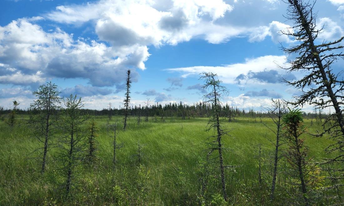

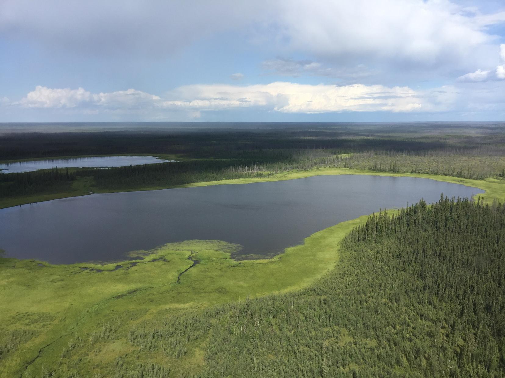
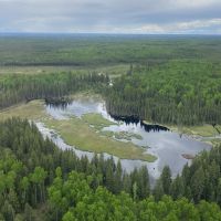
Undisturbed lowland habitats, like this fen, cover about 50% of the Al-Pac FMA area
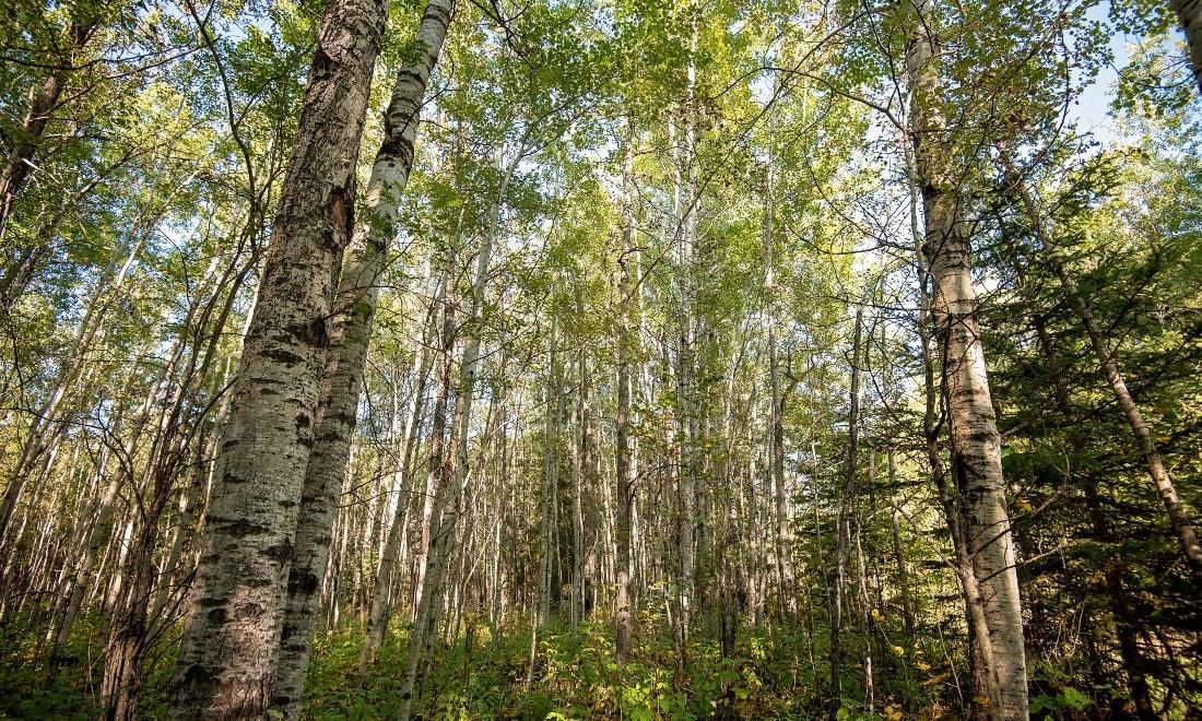
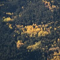
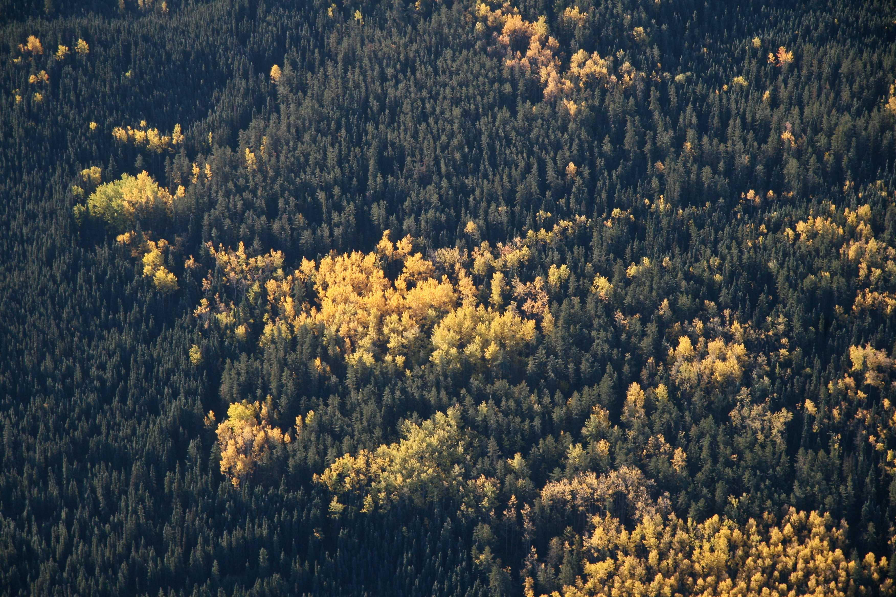
Undisturbed upland habitats, including deciduous stands, cover about 42% of the Al-Pac FMA area.
Results
90.5% in 2010
98.0% in 2010
- When compared to a reference state with no human footprint, 90.5% of terrestrial native cover (upland habitat) was undisturbed in the Al-Pac FMA area in 2010. By 2023, this had declined to 86.8%, representing a loss of 1,130 km² due to human disturbance. Currently, undisturbed terrestrial habitat covers 26,630 km²—41.8% of the FMA area.
- The area of aquatic and wetland native cover impacted by human footprint increased over the reporting period, with a decrease in cover from 98.0% in 2010 to 97.1% in 2023. This represents a loss of 280 km2 of lowland habitat over this time frame. Currently, undisturbed lowland habitat covers 32,082 km2—50.4% of the FMA area.
- Overall, these results show that human footprint has disproportionately impacted upland terrestrial habitats in the Al-Pac FMA area both in recent years (2010–2023) and historically (pre-2010). Forestry activities mainly occur in productive upland terrestrial habitats, while other development activities, like energy and transportation, are fairly evenly distributed between upland and lowland habitats.
Terrestrial Native Cover. Distribution of undisturbed terrestrial (upland) native cover (circa 2023) within the Al-Pac FMA area. The map also shows the reference state with no human footprint. Use the legend to toggle layers on and off, and zoom in for a more detailed view of terrestrial native cover distribution.
Aquatic & Wetland Native Cover. Distribution of undisturbed aquatic and wetland (lowland) native cover (circa 2023) within the Al-Pac FMA area. The map also shows the reference state with no human footprint. Use the legend to toggle layers on and off, and zoom in for a more detailed view of aquatic and wetland native cover distribution.
References
Potapov, P. et al. 2017. The Last Frontiers of Wilderness: Tracking Loss of Intact Forest Landscapes from 2000 to 2013. Science Advances 3(1): e1600821. Available at: https://www.science.org/doi/10.1126/sciadv.1600821.
IPBES. 2019. Global Assessment Report on Biodiversity and Ecosystem Services of the Intergovernmental Science-Policy Platform on Biodiversity and Ecosystem Services. Zenodo. Available at: https://zenodo.org/records/6417333.
Alberta-Pacific Forest Industries Inc. 2015. Alberta-Pacific FMA Area 2015 Forest Management Plan. Alberta-Pacific Forest Industries Inc. Available at: https://open.alberta.ca/dataset/35e41141-1570-4b24-95dd-912cf332ec92/resource/9420ae7d-6c4b-4a80-8f73-481e7c504e0d/download/vol-1-combined-fmp-chapters-20180625.pdf.
Government of Alberta. 2025. Alberta Timber Harvest Planning and Operating Ground Rules. Available at: https://open.alberta.ca/publications/timber-harvest-planning-and-ogr-2025.
Alberta-Pacific Forest Industries Inc. 2022. Alberta-Pacific Forest Products Inc. Forest Management Agreement Area Forest Stewardship Report. Alberta-Pacific Forest Industries Inc. Available at: https://alpac.ca/wp-content/uploads/2021/06/Al-Pac-Stewardship-Report-2015-2020_complete_NCedit_21May21_final.pdf.
Alberta Environment and Protected Areas. 2024. Native Cover Indicator for Alberta. Available at: https://open.alberta.ca/dataset/9f1d56a6-2b91-4a8d-96d0-592c5f90c3fc/resource/3e39e9e4-c543-4480-a69d-8d911a19a675/download/epa-native-cover-indicator-for-alberta-2024.pdf.
Methods for summarizing undisturbed native cover are found in Section 1.3.1.
