
Landscape Connectivity
Summary of the status of landscape connectivity (circa 2022) and trend (2010-2022) in the Al-Pac FMA area.
.svg)
Landscape connectivity for two broad habitat classes: upland and lowland
Methods for summarizing landscape connectivity are described in Section 1.3.1.
51% in 2010

46% in 2010
Introduction

- Landscape connectivity plays a crucial role in ecological processes such as daily foraging, dispersal to new areas, breeding, connecting populations in different areas, and range shifts in response to climate change[1].
- While habitat disturbance results in the direct loss of habitat, it also indirectly affects the remaining habitat by dividing natural areas into smaller, disconnected patches. These changes, combined with the existing distribution of natural habitats, influence how easy or hard it is for species to move through the landscape.
- In the Al-Pac FMA area, forestry along with other disturbances such as industrial development and seismic lines affect connectivity[2] is impacting species in different ways. Disturbed habitats like recent harvests and linear features (e.g., seismic lines, roads) can facilitate movement for more generalist or disturbance-adapted species (e.g., White-tailed Deer, Coyote) while some species associated with older, closed-canopy forests (e.g., Marten, interior songbirds) are less likely to cross large openings.
- Unlike permanent disturbances, harvested forests have the potential to recover over time, contributing to the restoration of connectivity. Further, maintaining scattered trees and/or patches of trees within harvest areas can provide “stepping stones” for movement across these areas[3].
- Due to the wide breadth of potential species responses, the landscape connectivity indicator presented here represents structural connectivity, which is best thought of as a description of how human footprint is distributed across the landscape, rather than in terms of single species’ movement responses.
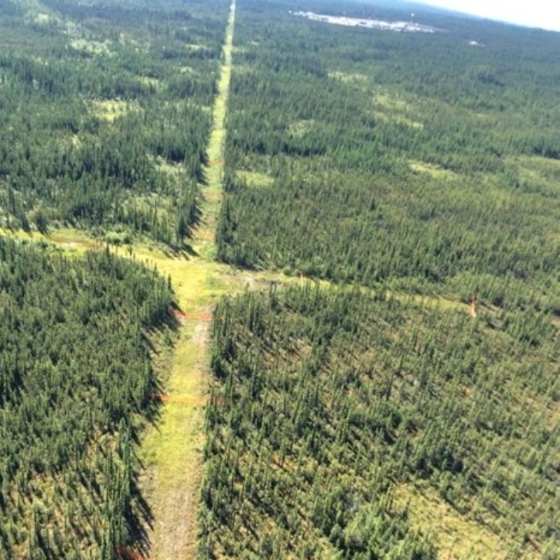

Linear features like seismic lines and roads make it easier for some species to move across the landscape.of habitat.

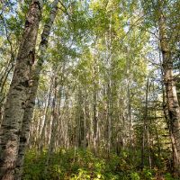
Some forest-interior species, like the Ovenbird, avoid crossing large openings.
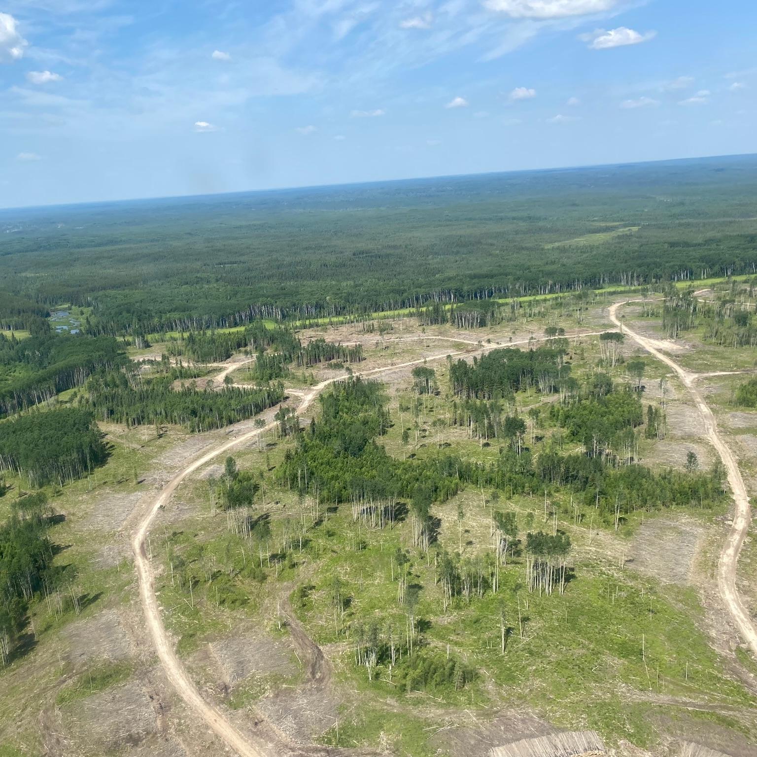
Maintaining patches of trees within harvest areas can provide “stepping stones” for movement.trees or patches within harvest areas can serve as “stepping stones” for species movement.
Results
51% in 2010
46% in 2010
- In the Al-Pac FMA area, upland and lowland habitats within 58 HUC-8 watersheds exhibit varying degrees of connectivity, with connectivity higher in upland (49%) compared to lowland habitat (41%).
- Across all watersheds, upland connectivity ranged between 3–96%. Connectivity declined from 51% in 2010 to 49% in 2022.
- Lowland habitat connectivity in watersheds ranged from 16% to 98%. Between 2010 and 2022, connectivity declined more in lowland compared to upland habitat, decreasing from 46% to 41%. This aligns with results in Section 2.3, which show that although overall habitat loss is low, interior lowland habitat is declining at a faster rate than total habitat.
- Overall, the spatial arrangement of human footprint strongly influences landscape connectivity. Footprint dispersed throughout a watershed reduces connectivity more than the same amount of disturbance concentrated in a single area.
References
Forman, R.T.T. 1995. Land Mosaics: The Ecology of Landscapes and Regions. Cambridge: Cambridge University Press.
Yemshanov, D., R.G. Haight, R. Rempel, N. Liu, F.H. Koch. 2021. Protecting Wildlife Habitat in Managed Forest Landscapes—How Can Network Connectivity Models Help? Natural Resource Modeling 34(1): e12286. Available at: https://onlinelibrary.wiley.com/doi/abs/10.1111/nrm.12286.
Manning, A.D., J. Fischer, D.B. Lindenmayer. 2006. Scattered Trees Are Keystone Structures – Implications for Conservation. Biological Conservation 132(3): 311–21. Available at: https://www.sciencedirect.com/science/article/pii/S0006320706001807.
Alberta Environment and Parks. 2024. Landscape Connectivity Indicator for Alberta. Available at: https://open.alberta.ca/publications/landscape-connectivity-indicator-for-alberta.
Methods for summarizing landscape connectivity are described in Section 1.3.1.
