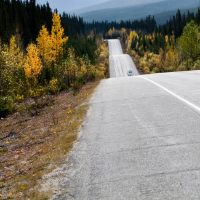
Linear Features
Summary of the status of linear human footprint (circa 2023) in the Al-Pac FMA area.
.svg)
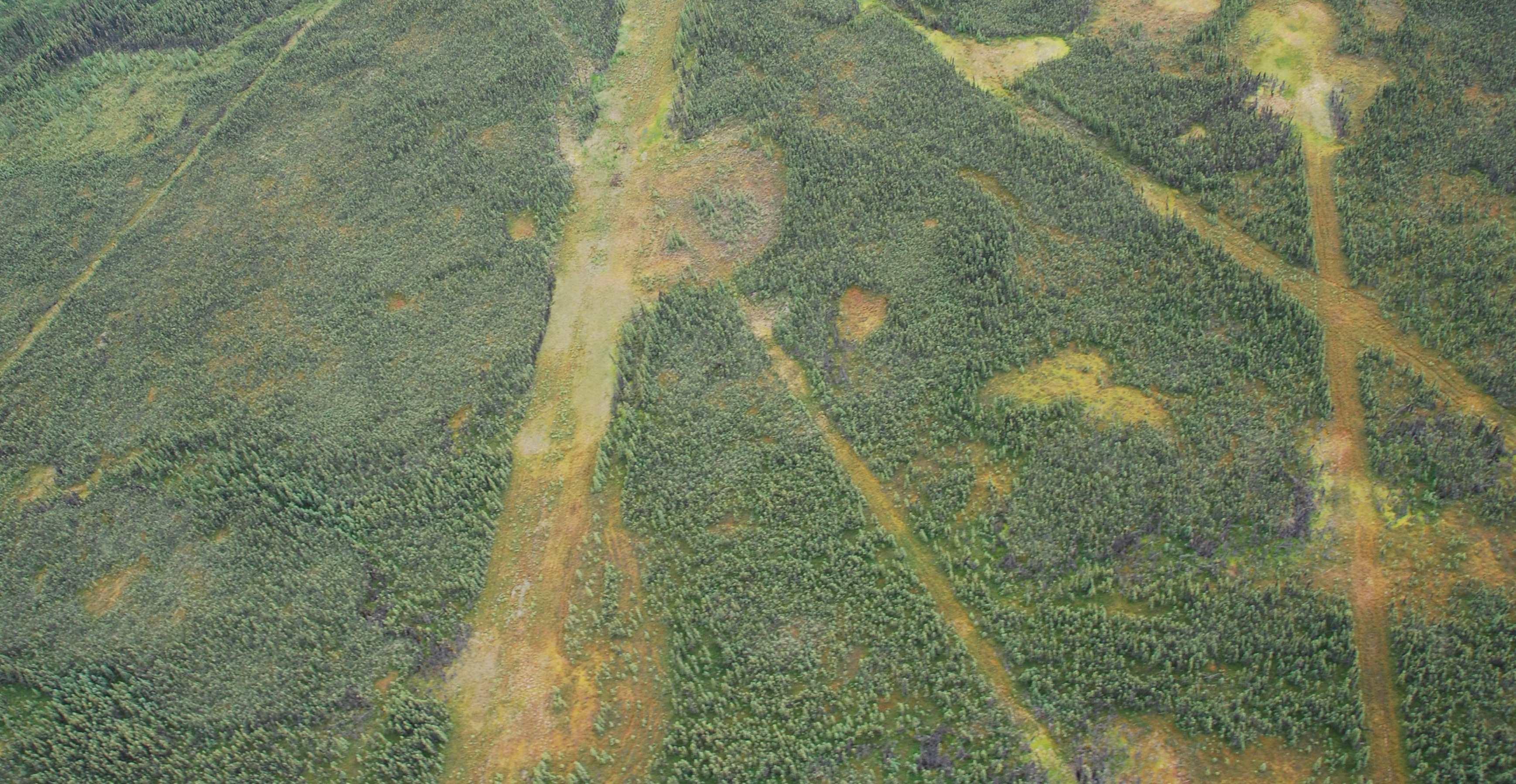
Total linear footprint density for all feature types combined.
Conventional seismic line density represents 64% of line types.
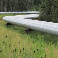
Pipeline density represents 11% of line types.
Road density represents 11% of line types.
Methods for summarizing linear features are described in Section 1.3.2.
Introduction
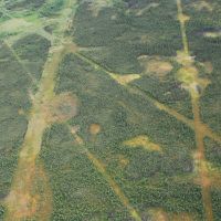
- Despite affecting a smaller area, linear disturbances are broadly distributed across the region and can disproportionately impact environmental conditions and habitat for some species such as caribou[1,2].
- Linear features create extensive forest “edge”, altering sunlight, temperature, and wind near boundaries while reducing interior native habitat (see Section 2.3).
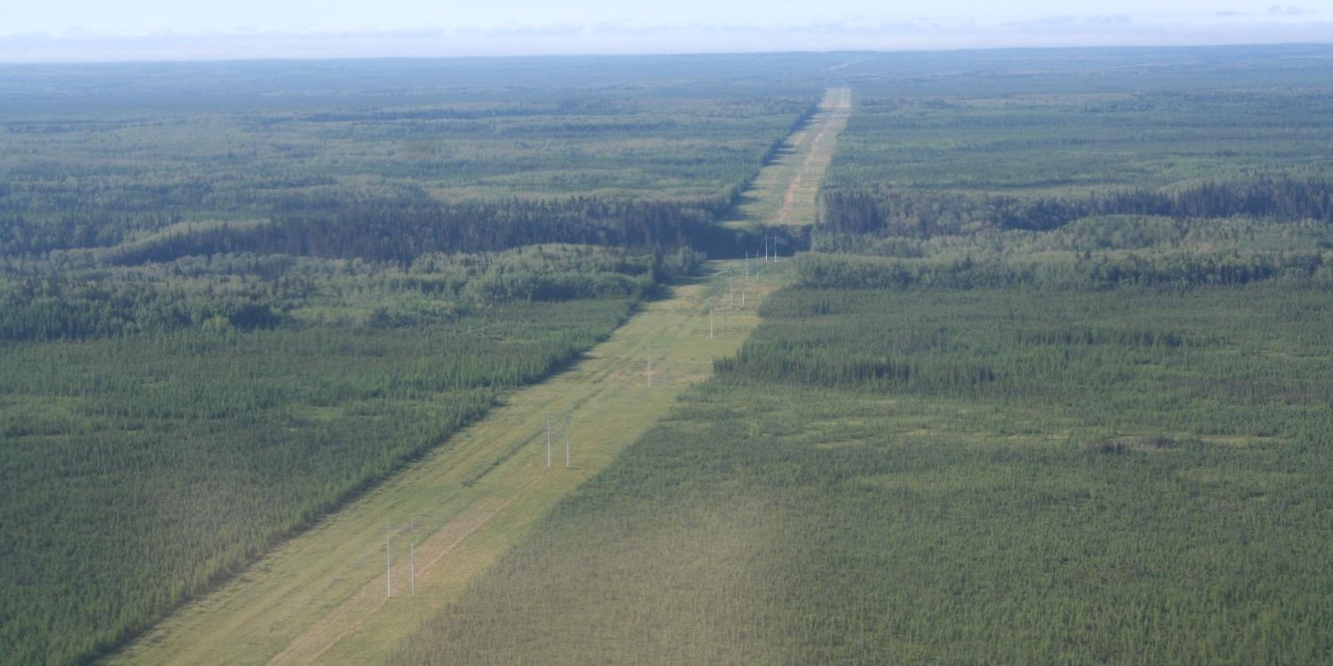
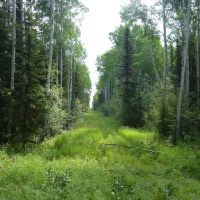
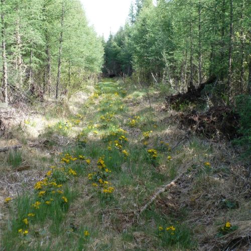
- Seismic lines created for energy exploration are a common linear disturbance. These linear features can impact wildlife movement across the landscape[3,4], alter predator-prey dynamics[3], and contribute to changes in biodiversity (e.g., birds[5] and soil mites[6]). On some linear features, vegetation recovery can be slowed due to persistent environmental changes (e.g. soil conditions, water drainage) or wildlife and human use.
- Integrated Land Management helps reduce the linear footprint by coordinating access across sectors—such as energy, forestry, and other land uses—to share routes, minimize duplication, and restore unused linear features[7]. Further, seismic line restoration is essential for Woodland Caribou recovery, as it removes wolf movement corridors[8]. Al-Pac supports these efforts through collaborative partnerships, including the Regional Industry Caribou Collaboration (RICC)[9], and through its regular operations, which involve restoring temporary forest roads and seismic lines within harvest areas[10].

Linear features can facilitate movement of animals and dispersal of plants across the landscape...
...artificially extending the range of certain species, including generalists and non-native species...

...e.g, White-tailed Deer are moving northward, aided by linear features that create travel corridors and foraging habitat.
Results
Linear footprint density (km/km2) in the Al-Pac FMA area circa 2023:
Highlights
- Conventional seismic lines were the predominant line type in the Al-Pac FMA area, representing 64% of linear features in the region, with a density of 1.2 km/km2.
- Other linear features (0.3 km/km2)—which include recreational trails and features not classified into the current categories (i.e., not verified by other reference sources)—were the second most common type of linear features and made up 13% of lines in the region.
- Pipelines (0.2 km/km2) and roads (0.2 km/km2) were next, each representing 11% of linear features.
- Transmission lines and railway lines had very low densities (<0.05 km/km2) in the Al-Pac FMA area.
- The densities presented in this section are calculated after applying mapping rules for overlapping footprint types; total linear feature length and density are also provided in the table below. Some features, such as low-impact seismic lines, are not currently included in the analysis. This summary also does not account for vegetation recovery on linear features: research to measure this recovery is ongoing (see Section 5.3).
Density of Linear Features. Density of linear features, by line type, in the Al-Pac FMA area as of 2023. Click on line types in the legend to turn types on and off. Zoom in on the map for a detailed view of the distribution of linear features.
View as Graph
Density of Linear Features. Density (km/km2) of linear features in the Al-Pac FMA area as of 2023, overall and broken down by linear feature type. Density (integrated) represented in stacked bar chart is calculated after applying mapping rules for overlapping footprint types. All linear feature densities were calculated using full-precision data, and totals were rounded only after summation to avoid rounding error.
View as Table
Density of Linear Features. Length (km) and density (km/km2) of linear features in the Al-Pac FMA area as of 2023, overall and broken down by linear feature type. Integrated length and density are calculated after applying mapping rules for overlapping footprint types. Total length and density are based on all mapped linear features without adjusting for overlaps between footprint types. All linear feature densities were calculated using full-precision data, and totals were rounded only after summation to avoid rounding error.
References
Dabros, A., M. Pyper, G. Castilla. 2018. Seismic Lines in the Boreal and Arctic Ecosystems of North America: Environmental Impacts, Challenges, and Opportunities. Environmental Reviews 26(2): 214–29. Available at: http://www.nrcresearchpress.com/doi/10.1139/er-2017-0080.
Brook, B.W., N.S. Sodhi, C.J.A. Bradshaw. 2008. Synergies among Extinction Drivers under Global Change. Trends in Ecology & Evolution 23(8): 453–60. Available at: https://www.cell.com/trends/ecology-evolution/abstract/S0169-5347(08)00195-X.
Dickie, M., R. Serrouya, R.S. McNay, S. Boutin. 2017. Faster and Farther: Wolf Movement on Linear Features and Implications for Hunting Behaviour. Journal of Applied Ecology 54(1): 253–63. Available at: https://onlinelibrary.wiley.com/doi/abs/10.1111/1365-2664.12732.
Roberts, D., S. Ciuti, Q.E. Barber, C. Willier, S.E. Nielsen. 2018. Accelerated Seed Dispersal along Linear Disturbances in the Canadian Oil Sands Region. Scientific Reports 8(1): 4828. Available at: https://www.nature.com/articles/s41598-018-22678-y.
Mahon, C.L., G.L. Holloway, E.M. Bayne, J.D. Toms. 2019. Additive and Interactive Cumulative Effects on Boreal Landbirds: Winners and Losers in a Multi-Stressor Landscape. Ecological Applications 29(5): e01895. Available at: https://onlinelibrary.wiley.com/doi/abs/10.1002/eap.1895.
Lumley, L.M., E.T. Azeria, V.A. Giacobbo, T.P. Cobb. 2023. Effects of Natural Land Cover, Anthropogenic Disturbance, Space, and Climate on Oribatid Mite Communities in Canada’s Oil Sands Region. Diversity 15(4): 469. Available at: https://www.mdpi.com/1424-2818/15/4/469.
Government of Alberta. 2012. Integrated Land Management Tools Compendium. Calgary: Environment and Sustainable Resource Development. Available at: https://open.alberta.ca/publications/9780778597568.
Alberta Environment and Parks. 2020. Agreement for the Conservation and Recovery of the Woodland Caribou in Alberta. Available at: https://open.alberta.ca/publications/agreement-for-the-conservation-and-recovery-of-the-woodland-caribou-in-alberta.
Regional Industry Caribou Collaboration. Wildlife Science Centre. Available at: https://wildlifescience.ca/projects/recovery/regional-industry-caribou-collaboration.
Alberta-Pacific Forest Industries Inc. 2022. Alberta-Pacific Forest Products Inc. Forest Management Agreement Area Forest Stewardship Report. Alberta-Pacific Forest Industries Inc. Available at: https://alpac.ca/wp-content/uploads/2021/06/Al-Pac-Stewardship-Report-2015-2020_complete_NCedit_21May21_final.pdf.
Methods for summarizing linear features are described in Section 1.3.2.
